By Akani Nkuna
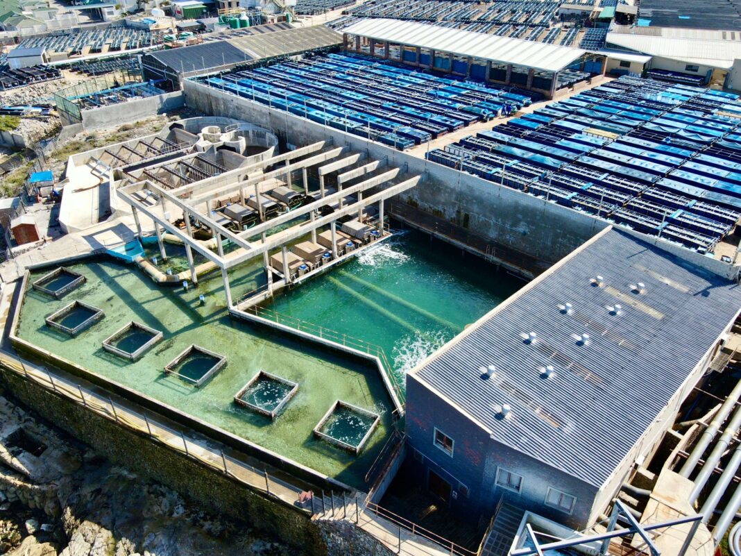
The Council for Scientific and Industrial Research has developed an online tool for easy access to satellite ocean data so that abalone farmers can use these maps to track harmful algal blooms.
This in turn will help safeguard their exports and contribute to job growth in aquaculture.
CSIR marine earth observation expert Dr Marie Smith said that “the nice thing about satellite information is that it provides you with a much larger spatial scale of information than you could get with simply taking a single sample at the farm at the intake pipe”.
The free, user-friendly tool analysis ocean colour and temperature data from the Copernicus Sentinel-3 polar-orbiting satellite, enables abalone farmers to track harmful red tides in near real time.
By providing early warnings, it helps farmers take preventive measures to protect their stock and maintain water quality.
According to Smith, had the satellite imagery and online tool been available in 2017, abalone farmers could have acted sooner to protect their stock.
Farmers would have had more time to close intake pipes, adjust feeding schedules, and change filters, helping to maintain water quality and reduce the impact of harmful algal blooms on their molluscs. This could have improved survival rates and safeguarded their exports.
In 2017 in Walker Bay, millions of abalone died as unchecked phytoplankton growth released toxins, triggering a harmful red tide that spread through nearby bays.
Rebuilding the biological stock took years after 40% of the abalone was killed.
“The combination of upwelling, followed by calm conditions or marine heatwaves, can cause microscopic algae to proliferate. Abalone can be sensitive to certain species of bloom-forming,” said Smith.
Satellite data played a crucial role in climate change adaptation and preparedness, as it provided long-term observations of environmental shifts, she said.
With satellites continuously monitoring Earth’s conditions for years, this data helps researchers track trends, predict impacts and develop strategies to mitigate climate-related risks effectively.
“Past, present and future satellite data is critical to safeguard these jobs, particularly in the context of the climate crisis where frequent and intense environment hazards like marine heatwaves could worsen red tides,” she added.
The aquaculture industry is a driver of the economy and small local economies.
INSIDE POLITICS

