

By Akani Nkuna
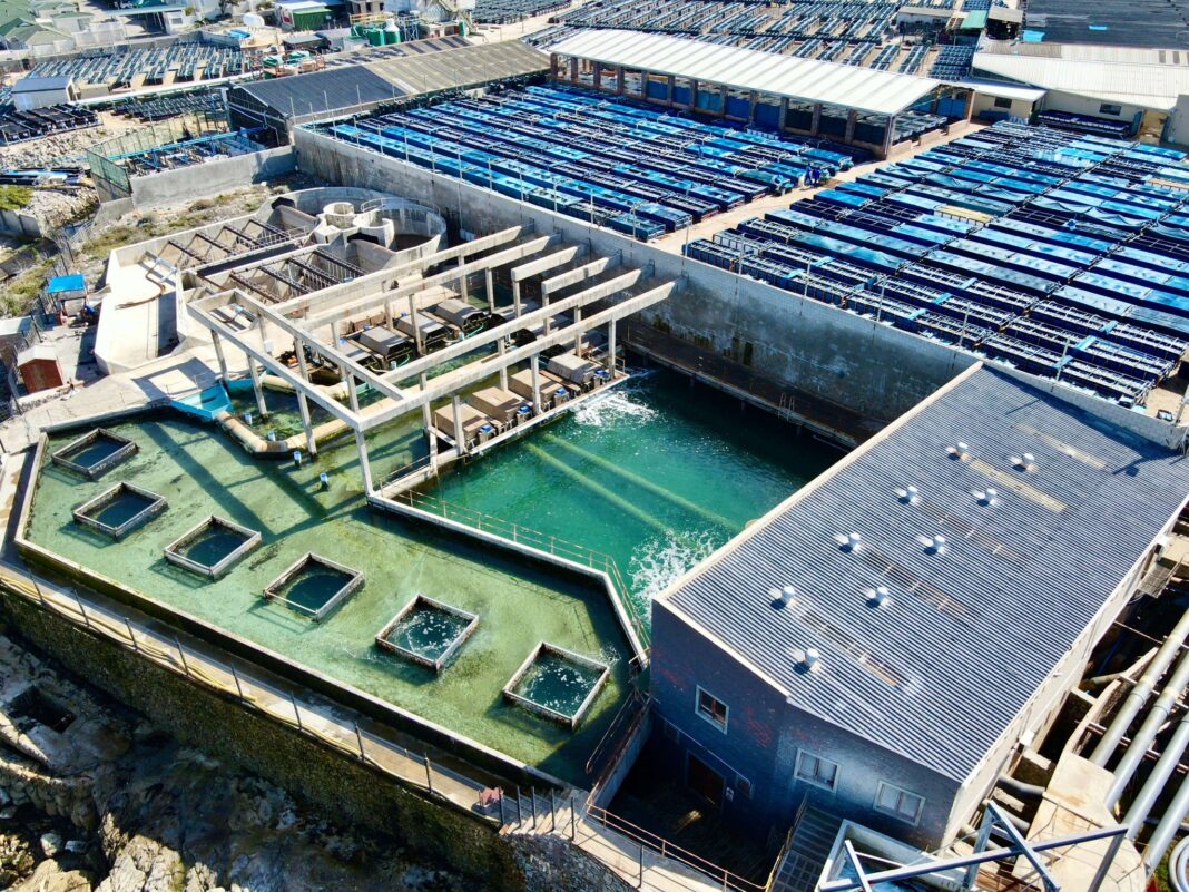
The Council for Scientific and Industrial Research has developed an online tool for easy access to satellite ocean data so that abalone farmers can use these maps to track harmful algal blooms.
This in turn will help safeguard their exports and contribute to job growth in aquaculture.
CSIR marine earth observation expert Dr Marie Smith said that “the nice thing about satellite information is that it provides you with a much larger spatial scale of information than you could get with simply taking a single sample at the farm at the intake pipe”.
The free, user-friendly tool analysis ocean colour and temperature data from the Copernicus Sentinel-3 polar-orbiting satellite, enables abalone farmers to track harmful red tides in near real time.
By providing early warnings, it helps farmers take preventive measures to protect their stock and maintain water quality.
According to Smith, had the satellite imagery and
You’ve reached your free article limit
Subscribe to enjoy unlimited access to trusted journalism. Cancel anytime.
Subscribe nowNeed help? molokom@insidepolitic.co.za