

By Catarina Demony and Ayendeng Bior
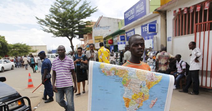
The African Union has backed a campaign to end the use by governments and international organisations of the 16th-century Mercator map of the world in favour of one that more accurately displays Africa’s size.
Created by cartographer Gerardus Mercator for navigation, the projection distorts continent sizes, enlarging areas near the poles like North America and Greenland while shrinking Africa and South America.
“It might seem to be just a map, but in reality, it is not,” AU Commission deputy chairperson Selma Malika Haddadi told Reuters, saying the Mercator fostered a false impression that Africa was “marginal”, despite being the world’s second-largest continent by area, with 54 nations and over a billion people.
Such stereotypes influence media, education and policy, she said.
Criticism of the Mercator map is not new, but the ‘Correct The Map’ campaign led by advocacy groups Africa No Filter and Speak Up Africa has
You’ve reached your free article limit
Subscribe to enjoy unlimited access to trusted journalism. Cancel anytime.
Subscribe nowNeed help? molokom@insidepolitic.co.za