

By Staff Reporter
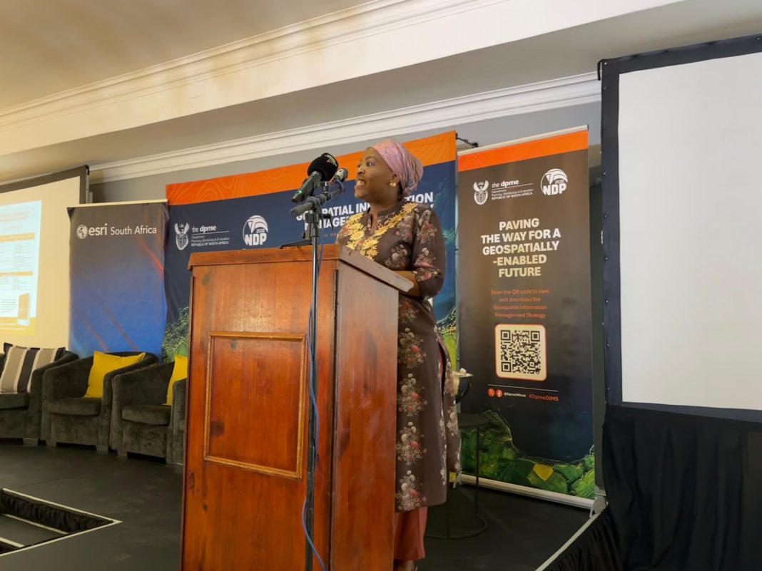
The Minister in the Presidency for Planning, Monitoring and Evaluation, Maropene Ramokgopa, has launched a new planning tool that uses big data, satellite imagery, and advanced geospatial technologies.
Ramokgopa said the Geospatial Information Management Strategy (GIMS) will be used for more effective monitoring and evaluation.
“Today, we are not simply unveiling another government document. We are taking a decisive step towards building a spatially intelligent state, which puts people, communities, and places at the very centre of development,” she said at the launch in Pretoria.
Ramokgopa said GIMS will change how government performs some of its key functions “with a framework and a practical tool to transform how government plans, monitors, and evaluates its work”.
The strategy draws on many of government’s existing planning tools, starting with the National Development Plan (NDP) Vision 2030, the blueprint for long term planning.
Ramokgopa said GIMS also strengthens the Medium-Term
You’ve reached your free article limit
Subscribe to enjoy unlimited access to trusted journalism. Cancel anytime.
Subscribe nowNeed help? molokom@insidepolitic.co.za