

By Lebone Rodah Mosima
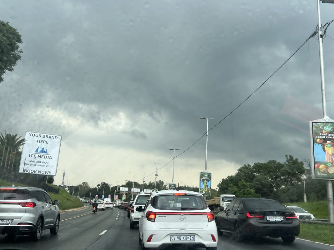
Severe thunderstorms bringing heavy downpours, damaging winds, hail and excessive lightning are expected across parts of Gauteng, Limpopo and Mpumalanga on Monday, the South African Weather Service (SAWS) has said.
SAWS issued a Yellow Level 2 warning for severe thunderstorms over the Mpumalanga Highveld, south-western Limpopo and most of Gauteng, excluding the south-western parts of the province.
The storms could cause localised flooding of susceptible roads, low-lying areas and bridges, as well as damage to settlements and infrastructure.
ALSO READ: Five parties make major pitch to voters
Extremely high fire danger conditions are meanwhile expected over the Limpopo Valley, Bushveld and central parts of Limpopo, as well as the Moses Kotane Local Municipality in North West.
The warnings come as unsettled weather persists over the central and eastern parts of South Africa.
SAWS said upper-air disturbances would increase the likelihood of isolated to scattered showers and thunderstorms over the central, southern and eastern parts of the country, while a surface trough dominates the central and western interior.
Gauteng is expected to be partly cloudy and warm, with isolated showers and thundershowers and hot conditions in the extreme north. The province’s UVB sunburn index is rated high.
Mpumalanga will experience morning fog along the escarpment, followed by cloudy and cool to cold conditions. Isolated showers and thundershowers are expected, becoming scattered over the Highveld.
In Limpopo, morning fog is also expected along the escarpment. Conditions will otherwise be partly cloudy, windy and cool to warm, with isolated showers and thundershowers and more widespread storms in the extreme south.
North West will be fine and warm to hot before becoming partly cloudy in the east, where isolated showers and thundershowers are forecast. The Free State will be partly cloudy and cool to warm, with isolated showers and thundershowers in the east.
ALSO READ: OPINION | Municipalities have a money problem – but that alone won’t fix the crisis
KwaZulu-Natal is in for a colder, wetter day. Morning fog is expected in the south-west, with cloudy and cold to cool conditions elsewhere. Scattered showers and thundershowers are forecast, although they will be more isolated in the south. Moderate to fresh southerly to south-westerly winds are expected along the coast.
The Eastern Cape will also remain relatively cool. The western half of the province will be cloudy and cold to cool, with possible light rain along the coast before conditions become partly cloudy during the afternoon. The eastern half will remain cloudy and cold to cool, with isolated showers and rain in the extreme east.
ALSO READ: Ramaphosa vows action as 27 killed in latest mass shootings across the country
The Western Cape will be partly cloudy and cold in places in the east, but otherwise fine and cool, becoming warm over the West Coast District. Strong to near gale-force south-easterly to easterly winds are expected along the south-west coast. The province’s UVB sunburn index is rated very high.
The Northern Cape will be partly cloudy in the south-east during the morning but otherwise fine, windy and cool to warm, with hot conditions along the northern coast. Coastal winds are expected to strengthen during the afternoon.